CIVIL GOVERNMENT
Precision Solutions for Resource Management and Disaster Response with Pixxel’s Hyperspectral Imagery
Leverage Pixxel’s high-fidelity hyperspectral data to optimise resource efficiency, support sustainable initiatives, and improve disaster response outcomes.

Pixxel’s hyperspectral imaging technology equips civil agencies with the tools to monitor environmental changes, oversee infrastructure projects, and coordinate disaster relief efforts more precisely. By delivering advanced spectral data, Pixxel
empowers governments, researchers, and civil bodies to allocate resources
efficiently, plan for sustainable development, and respond to critical situations
in time and with confidence.


Overcoming Challenges in Civil Government
Government agencies face increasing pressure to manage natural resources, infrastructure, and public services but often lack detailed insights, limiting effective decision-making. Advanced technologies and data-driven solutions act as a solution.

Inefficient Resource
Allocation
Limited access to precise environmental data makes it difficult for governments to optimise water, land, and energy use, resulting in resource waste and decreased productivity.
Environmental Degradation
and Climate Resilience
Without advanced technology, implementing sustainable practices and developing strategies to mitigate the impact of extreme weather events becomes a significant challenge.
Unmonitored Infrastructure
and Resources
Insufficient oversight of public infrastructure and natural resources leads to inefficiencies, a lack of transparency, and unmanaged degradation, weakening public service delivery.
Delayed Response
to Disasters
The absence of real-time data hinders timely disaster response efforts, amplifying damage and prolonging recovery times.
Discover The
Hyperspectral Advantage
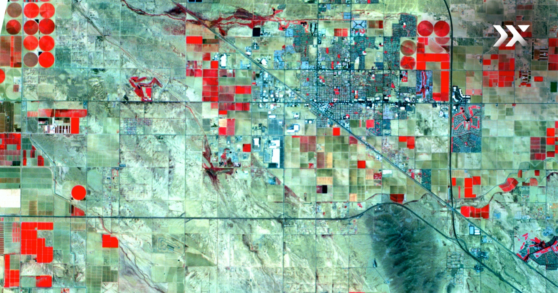
Hyperspectral imaging offers unparalleled precision by capturing detailed spectral data, spectrally fingerprinting the Earth to allow for accurate identification and analysis of materials in urban and natural environments. By measuring a broader range of wavelengths than traditional methods, it provides a powerful tool for disaster response, urban development, and efficient resource management, enabling more informed and proactive decision-making.

5-metre spatial resolution

250+ VNIR and SWIR bands

24-hour revisit frequency

40-kilometre SWATH width
.png)
.png)
Empowering Civil Governance
Hyperspectral Applications
for Informed Government Decisions
Localised issue detection and strategic resource management
Pixxel’s hyperspectral satellites capture data across up to 150 spectral bands, offering governments unprecedented insights into land use and environmental conditions.
This allows for precisely detecting localised issues like chemical spills or ecosystem stress, enabling strategic resource management. By providing granular details on regional patterns, decision-makers can develop sustainable strategies for resource use, improve urban planning, and respond swiftly to environmental challenges.


Accurate monitoring of infrastructure and environmental health
With its 5-metre spatial resolution, Pixxel’s hyperspectral technology delivers highly detailed data, allowing governments to monitor infrastructure and ecological health precisely.
This technology enables early detection of potential issues, whether tracking the condition of roads, railways, or inland waterways. Continuous monitoring helps reduce maintenance costs, improve resource allocation, and ensure the longevity of critical public infrastructure.

Proactive disaster detection and rapid response
Pixxel’s satellites offer a daily revisit frequency, which is essential for early detection of environmental threats and disaster risks.
This technology allows civil authorities to monitor subtle signs of environmental stress, such as land degradation or weather-related changes, before visible symptoms appear. With near real-time access to hyperspectral data, governments can implement timely interventions, minimising the impact of disasters and improving the effectiveness of relief efforts.

Precision in infrastructure management and urban planning
Pixxel's hyperspectral technology offers 10x more information than conventional satellites, delivering unparalleled resource identification and infrastructure management accuracy.
This precision optimises resource allocation, enhances public safety, and supports sustainable management practices. With detailed insights, governments can improve environmental and urban planning, efficiently manage resources, and implement resilient infrastructure strategies. Real-time monitoring empowers decision-makers to safeguard public assets, reduce risks, and ensure long-term sustainability in urban and natural environments.


Knowledge Hub
Discover how Pixxel's Earth Observation technology drives impactful insights.