Discover the Potential for Forest Management with Pixxel's Hyperspectral Imagery

Effective forest management is essential for preserving the delicate balance of these ecosystems and their natural resources. However, traditional methods often fail to provide comprehensive insights into forest ecosystems' complexities. Pixxel's hyperspectral imagery offers new insights into the monitoring and management of vital forest resources.
Forests cover around one-third of all land on Earth, providing direct resources (including food or fuel) for over 1.6 billion people and a home for around 70 million people worldwide. These diverse ecosystems also provide a range of ecosystem services, from protecting communities against natural disasters such as floods or landslides to regulating climates by sequestering greenhouse gases. Still, despite the apparent benefits that forests provide, these ecosystems face constant pressure due to threats such as deforestation, degradation, and illegal activities. The importance of forests coupled with the threats that they face due to human activities highlights the significance of applying efficient and effective monitoring and management practices that support forest health.
When monitoring forests, it’s important to monitor parameters such as above-ground biomass, species distribution, and stress levels. The high spectral resolution associated with hyperspectral imaging sensors is capable of detecting such parameters with special attention to minor spectral variations. This capability is extremely useful in determining any variations that may be threatening to forest health. In our whitepaper, “The Hyperspectral Advantage in Forestry”, we explore the potential that remotely sensed hyperspectral imagery has across forest management applications.
What is Hyperspectral Imaging?
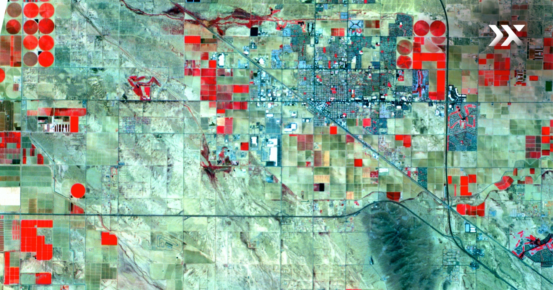
Hyperspectral imaging satellites allow us to see our planet’s surface in a way we’ve never seen before. Unlike conventional methods that capture data in just a few discrete bands, hyperspectral imaging sensors can split the electromagnetic spectrum into hundreds of narrow contiguous bands. This increase in data capture means they can extract previously unavailable information, giving us a new level of precision.

How does hyperspectral imagery support forest management?
Pixxel's hyperspectral imaging satellites are set to play a vital role in safeguarding our forests, offering invaluable insights into various forestry parameters. They offer an efficient, accurate, and cost-effective way to monitor and manage forests. By providing detailed insights into forest conditions, hyperspectral imaging solutions support continuous monitoring, allowing for informed decisions and tailored management strategies.
From mapping tree species diversity to detecting vegetation stress and disease outbreaks, hyperspectral imaging finds applications across various aspects of forest management. Pixxel's advanced technology empowers organisations and environmental watchdogs to detect, classify, and quantify threats to forest health, facilitating proactive management strategies.
Discover more in our latest whitepaper
Our whitepaper on “The Hyperspectral Advantage in Forestry” explores Pixxel’s hyperspectral solutions, showcasing their applications, benefits, and how they’re set to transform environmental monitoring practices, including forestry. Explore real-world use cases and gain insight into the significant wavelengths for detecting forest parameters.
Here’s a sneak peek into what our whitepaper covers:
- Addressing key challenges: Gain insights into the challenges that our forests face and explore how hyperspectral imagery is posed to overcome them.
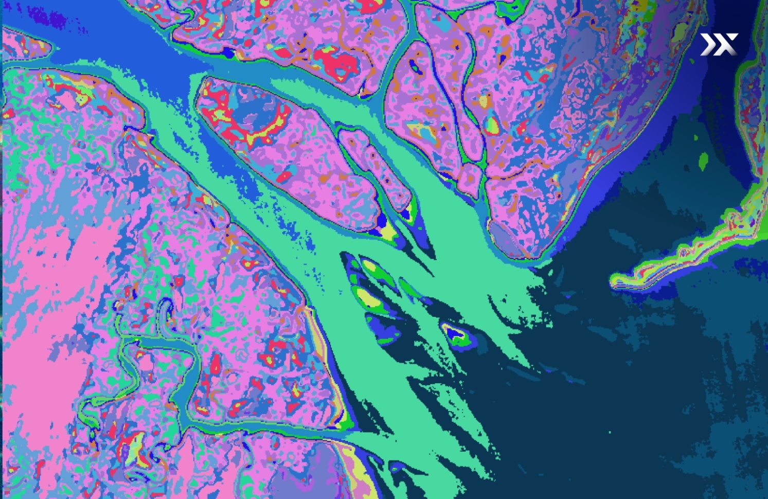
- Key use cases: We explore real-world applications, including tree species mapping, invasive species detection, and forest health monitoring, using exhibits from Pixxel’s imagery.
- Pixxel’s hyperspectral advantage: Find out how our advanced technology enables organisations to detect, classify, and quantify threats to forests worldwide.
Read a detailed version of this blog in our downloadable whitepaper.
At Pixxel, we’re dedicated to revolutionising environmental monitoring practices and safeguarding our forests for future generations. Through our upcoming constellation of cutting-edge hyperspectral imaging satellites and analytical tools, we’re creating a health monitor for our planet and actively preserving its delicate ecosystems.
Now, more than ever, it’s crucial for decision-makers, stakeholders, and forest stewards to harness the power of hyperspectral imagery. With Pixxel's advanced technology, decision-makers can gain unprecedented insights into forest ecosystems, enabling proactive management strategies to safeguard our forests.
Get in touch with us to learn more about how hyperspectral imaging satellites and their voluminous and transparent datasets can benefit your industry.


